
Loading map...
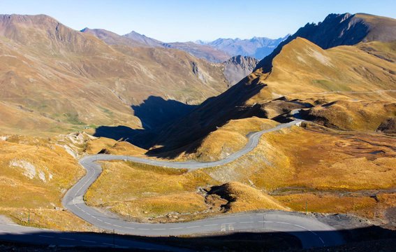
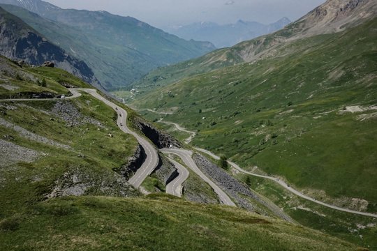
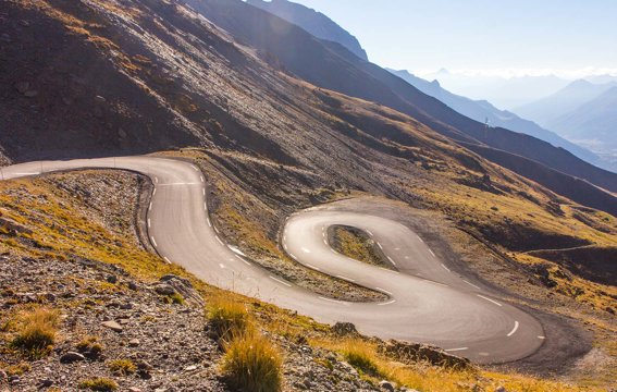
From the cockpit, the Galibier doesn’t announce itself with a single postcard hairpin. It builds. You leave Briançon on the climb toward Col du Lautaret, still in a world of trees, tourist traffic, and the easy rhythm of a high Alpine corridor. Then the air thins, the guardrails get thinner too, and the road starts to feel like it’s negotiating with the mountain rather than crossing it. Past Lautaret the character flips. The upper Galibier is bare rock, wind, and a ribbon of asphalt that keeps asking for one more gear down. Corners stack, sightlines stretch across empty slopes, and every straight is short enough that your eyes stay glued to the next camber. On a bike you feel every gust; in a car you feel the chassis settle, then unload again as the gradient refuses to quit. At 2,642 m the summit is less a finish line than a pause — cold parking pull-offs, the famous monument, and that brief silence before you tip north. The descent into Valloire is where the road gets playful: longer sight distances, commitment corners, and the sense that gravity finally owes you something after the climb. Drop through Col du Télégraphe and the story softens again — forests return, temperatures rise, and by Saint-Michel-de-Maurienne you’ve ridden Tour de France royalty end to end: not a stunt road, but a full Alpine day with real elevation, real exposure, and that rare feeling that the mountain let you through on purpose.
From the road
- Browse other spectacular roads in France